Investor Overview
The Environmental Data Layer for African Trade
THALLOS turns satellite data into trade-grade compliance — starting with EUDR and expanding into the verification backbone for an entire continent's exports.
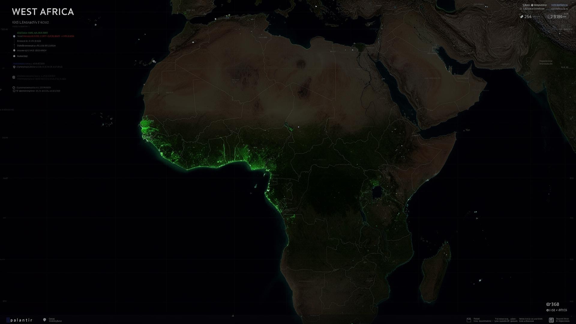
LAT 6.85°N · LON 5.27°W
● LIVE
5 COUNTRIES · 12,842 PLOTS
12,842
Farms analyzed
$34B
Serviceable market
5
Countries live
87%
Avg. compliance rate
Market opportunity
A $34B verification market
Every regulated commodity flowing from Africa to Europe needs a deforestation-free proof. We start with cocoa and expand outward.
Cocoa
$13B
EU imports / yr
Coffee
$9B
African exports
Palm Oil
$6B
Traceability gap
Timber
$4B
EUDR in scope
Carbon Markets
$2B+
Emerging layer
Projected coverage
Plots under verification
2024
2025
2026
2027
2028
Indexed growth in verified plots, 2024–2028 (projected).
Growth roadmapLive202620272028
From compliance to intelligence
Phase 1
EUDR Compliance
Phase 2
Multi-Commodity Verification
Phase 3
Carbon Monitoring
Phase 4
Environmental Intelligence Platform