Farm Analysis
Verify a single plot against EUDR deforestation-free requirements.
1Upload Boundary
2Validate Geometry
3Satellite Analysis
4Results
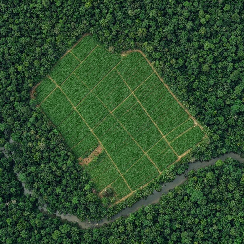
LAT 6.85°N · LON 5.27°W
● LIVE
AWAITING BOUNDARY
Step 1 · Provide farm boundary
or
Supported: .kml .geojson .json